Koby Brown
Little Bird Aerial Intelligence Inc.
Categories
Disaster Response Thermal Imagery (Drone) Aerial Imagery (Drone) Drone Services IT Solutions
About
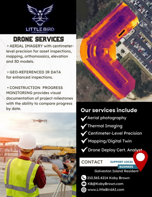
Drone Services
- Facade Inspection Flights
- Thermal Imaging
- Centimeter-Level Precision
- Mapping/Digital Twin
- Drone Deploy Certified Analyst
AERIAL IMAGERY with centimeter-level precision for asset inspections, mapping, orthomosaics, elevation and 3D models.
GEO-REFERENCED IR DATA for enhanced inspections.
CONSTRUCTION PROGRESS MONITORING provides visual documentation of project milestones with the ability to compare progress by date.
Based in Galveston, TX. Serving Texas and beyond.
Video Media
Images


Powered By GrowthZone